View Virtual "Walk Down the Mississippi" in a larger map
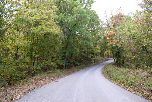
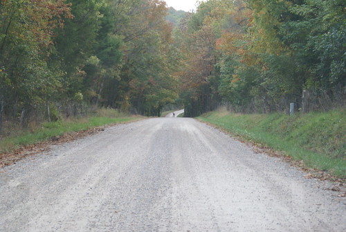
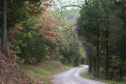
I'm not sure how it qualifies to be the Mississippi, but that's what all the maps say. I think it's actually Isle Du Bois Creek.
I found the following text at http://whmc.umsystem.edu/exhibits/ramsay/ramsay_sainte_genevieve.html
- Place name: Isle au Bois Creek
- Description: A small stream that forms the southeastern boundary between Ste. Genevieve and Jefferson counties and flows east into the Mississippi River. The name is French meaning "Isle of the Woods" (incorrectly spelled for "Ile au Bois"), derived from a wooded island or islands in the Mississippi River, which Marquette probably named in 1673. It is also explained, however, by McDermott (under "ile") as a term which the Canadian "voyageurs" used for patches or clumps of trees bordering a river--a grove of trees along a river bank. Also spelled Isle au Boise, Isle du Bois, and Isleaubois. The popular pronunciation Zile au Boy points to the plural form as probably the original one, for it could have risen naturally by "liasion" from "Aux Iles au Bois;" cf. Auxvasse, Ozarks, etc. (Wetmore (1837); Goodwin (1867); Campbell's GAZETTEER (1874) 281; MHR, II, 192; McDermott; Miss Welty's thesis; Mrs. Edward Schaaf)
- Source: Zimmer, Gertrude M. "Place Names Of Five Southeast Counties Of Missouri." M.A. thesis., University of Missouri-Columbia, 1944.
One of the things I love about the river is the fact that it goes so far back in history. Yes, the banks have all eroded this way and that and the current have changed every bit of the river every hundred years -- but the place is a constant and has been for so long. Not even considering the Native American experience with the river (will cover that at some point further downstream), the European experience goes back to 1541!
And here is a little creek, likely unnoticed by most of the people who cross it. But three hundred years ago it's possible that someone noticed it enough to name it so beautifully.
I'll bet I could fit my boat on that.
