Sometimes being remote is frustrating. I can't find a name for that creek. It's not even on most of the maps, some of them just a little blue line. Sure, it barely has any water in it, but don't folks name every body of water, no matter the size?
Wednesday, December 15, 2010
Tuesday, December 7, 2010
Wednesday, December 1, 2010
Tuesday, November 30, 2010
Roadtripping with streetview
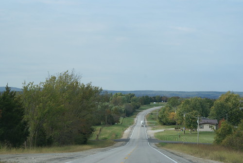
OK, so I've turned south to get back to Highway 61. The floodplain was adding a ton of miles to the journey and to be honest just wasn't very interesting. Back on 61 I'll have street view and lots of little towns to snoop around.
The jog back to 61 is an interesting one.
Heading up out of the river valley I got stuck behind a truck..
Saw someone who got pulled over by a local constable..
View Larger Map
Passed that truck finally..
And tomorrow I'll show you my route home - streetview slideshow style!
View Virtual "Walk Down the Mississippi" in a larger map
Monday, November 29, 2010
South of Kaskaskia Ill, in Missouri
I'm off Highway 61 for a spell, so no "streetview" but I do have a map location:
View Virtual "Walk Down the Mississippi" in a larger map
View Virtual "Walk Down the Mississippi" in a larger map
The town of Kaskaskia has an incredibly interesting story. It used to be the capitol of Illinois. Unfortunately, it's also on the flood plain, so in years like 1993, the town gets a good flooding. There's not a lot left after all these years, but they do have a Liberty Bell!
Wednesday, November 24, 2010
I've walked 800 Miles!
View Virtual "Walk Down the Mississippi" in a larger map
This days stop is just a stones's throw south of Saint Mary Missouri and also happens to land on the 800 mile marker. Since I started walking home from work two years ago I've covered 800 miles, 3.5 miles at a time.
Tuesday, November 23, 2010
Highway 61
View Virtual "Walk Down the Mississippi" in a larger map
Another bridge over another creek leading to the Mississippi.
Subscribe to:
Posts (Atom)